TITLE: Pretty pictures from Terrestrial LiDAR
DATE: 2021-04-20
AUTHOR: John L. Godlee
====================================================================
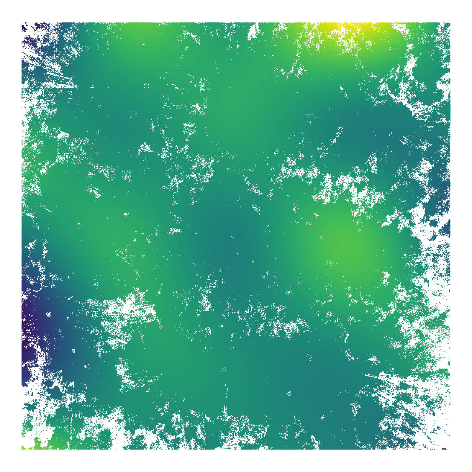
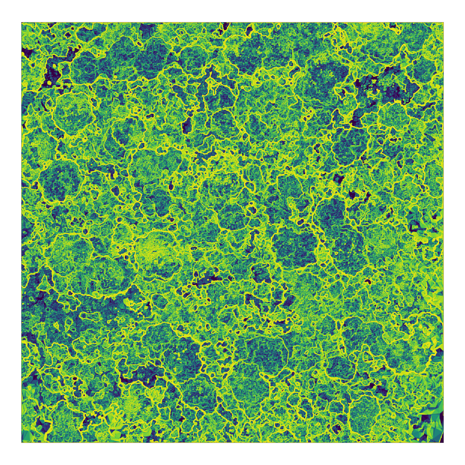
I've been trying to extract tree canopy complexity statistics from
my terrestrial LiDAR data. As part of this I have been creating
Canopy Height Models (CHMs) for each of my savanna plots. This
involves "pit-filling" to remove low points where the LiDAR didn't
penetrate all the way to the top of the canopy. Without
pit-filling, the canopy surface appears pock-marked and jaggedy,
while I want to approximate the top of the canopy as an even
surface. So basically, in order to pick the best pit-filling and
canopy height model algorithms, I have been making lots of maps and
3D surfaces of the tree canopy surface. I'm not going to get into
the maths behind what I did, I just wanted to share some pretty
pictures that came out of this process. Note, all these images are
from the same plot, in Bicuar National Park, southwest Angola.


