TITLE: Weekend walk on the Southern Upland Way and John Muir Link
DATE: 2019-01-13
AUTHOR: John L. Godlee
====================================================================
At the weekend, we made up a walk that took in some of the end of
the Southern Upland Way and some of the old John Muir Way, now
known as the John Muir Link.
[Southern Upland Way]:
https://www.walkhighlands.co.uk/borders/longformacus-cocksburnpath.s
html
[John Muir Link]:
https://www.walkhighlands.co.uk/lothian/dunbar-dunglass.shtml
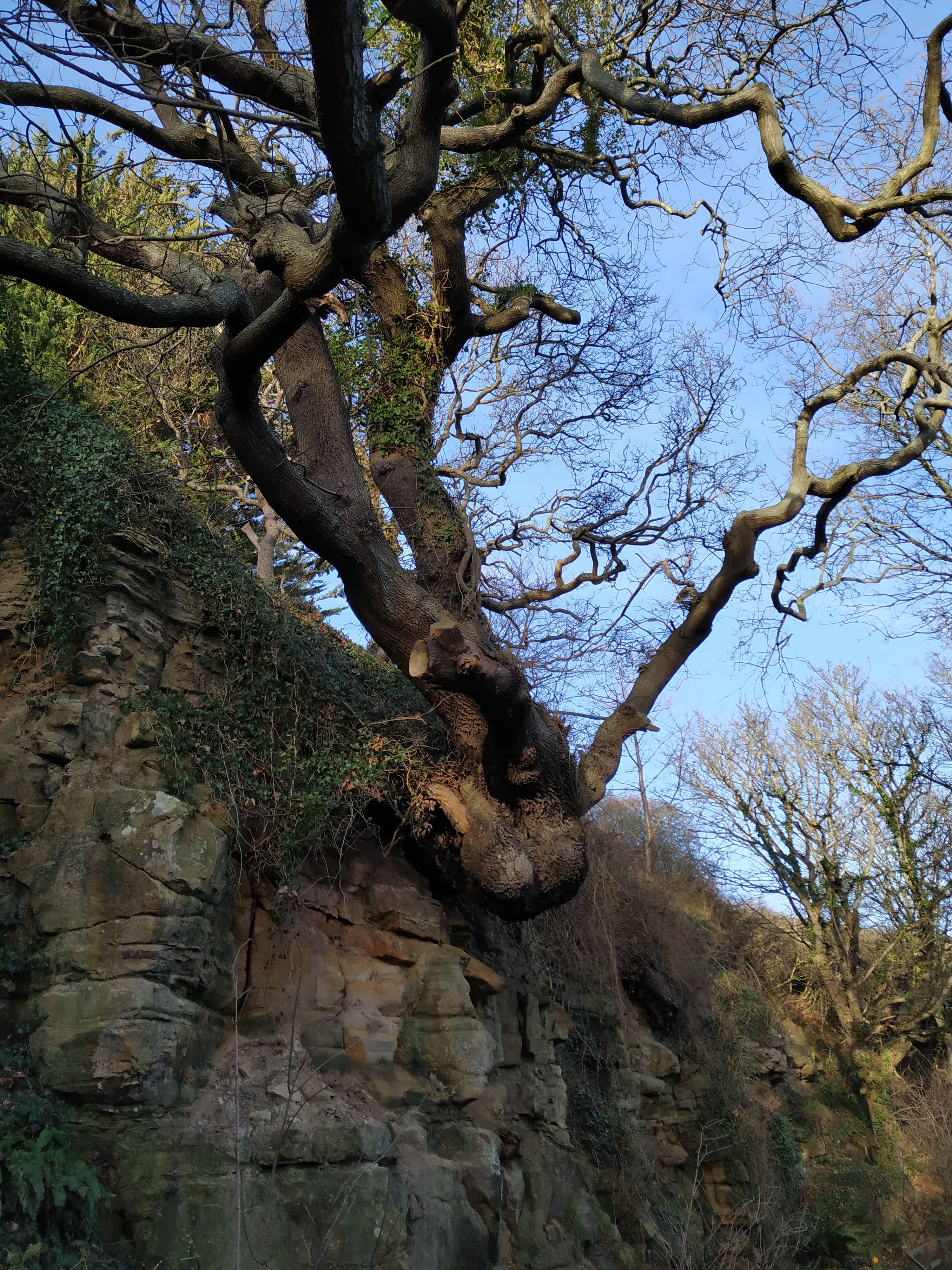
We set off from Abbey St. Bathans and over the Gurkha bridge, along
the river Whiteadder then up into the Lammermuir Hills towards the
coast. The first part of the walk was mainly through upland fields,
with a mix of little bits of plantation woodland and small roads
and tracks. Then as we descended towards the A1 and over the other
side (which required actually walking over the A1!) we entered
Pease Dean, which is a nice bit of woodland and pine plantation
where we spent the night.
](
https://johngodlee.xyz/img_full/suw/gor
se.jpg)
](
https://johngodlee.xyz/img_full/suw
/pease.jpg)
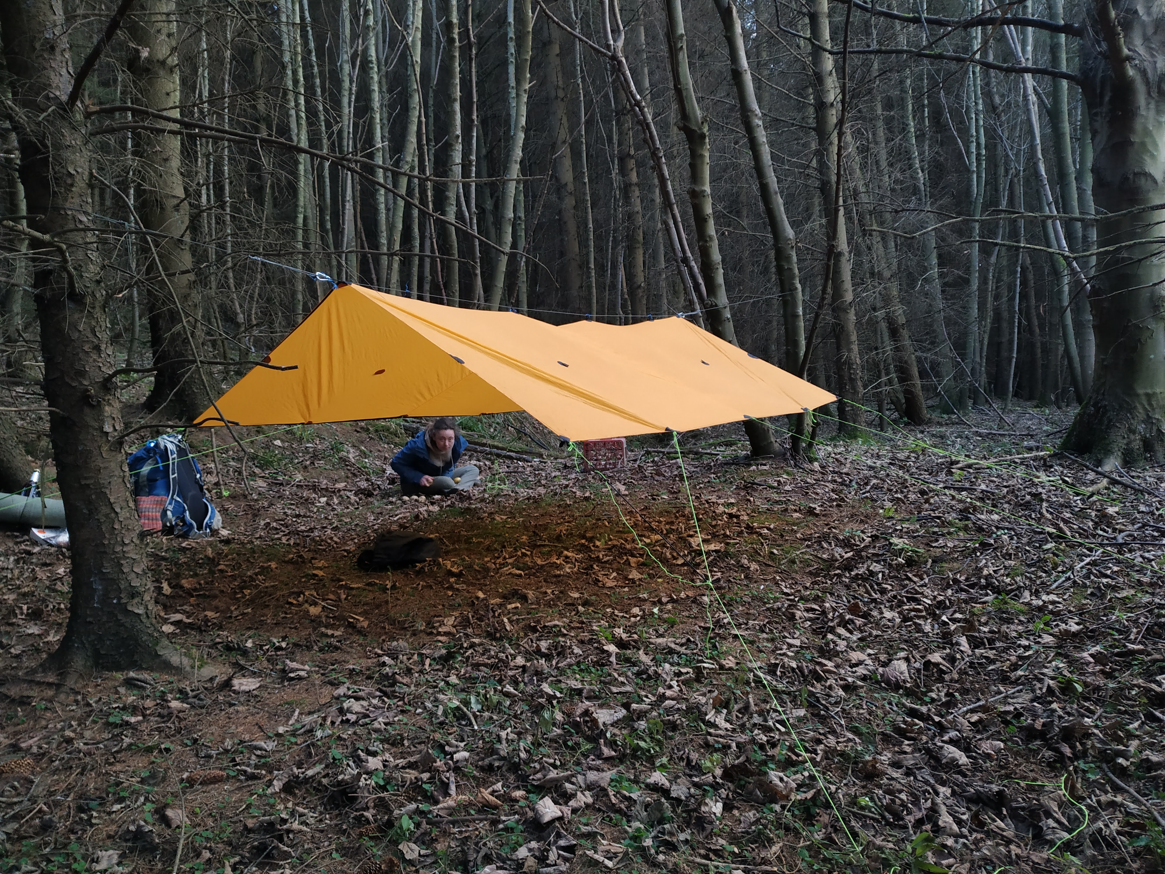
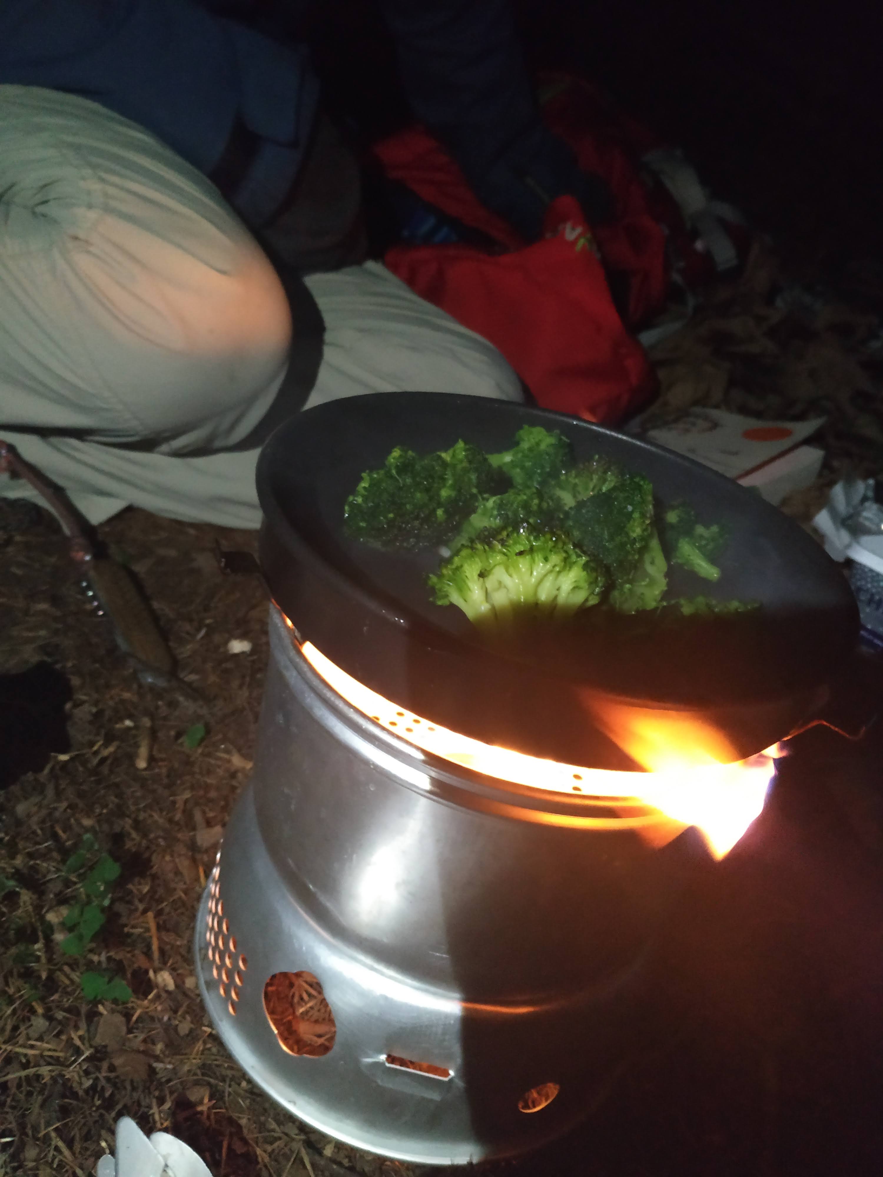
We both took bivvy bags and I set up a tarp over the top of us, to
guard against the rain but also to bring a sense of coziness. We
brought potatoes and broccoli which we fried in my trangia with
some leftover bacon grease, then in the morning we had some coffee
using the kettle. Leftover film canisters are my new preferred
method of taking small pots of grease, spices, coffee, etc. out on
hikes.
The next day we walked to Cockburnspath in the morning and stocked
up on food at the village shop, which was open at 10:00 on a
Sunday. On the cliffs behind Pease Bay we spent a good while
watching the surfers trying to beat out through the breaking waves.
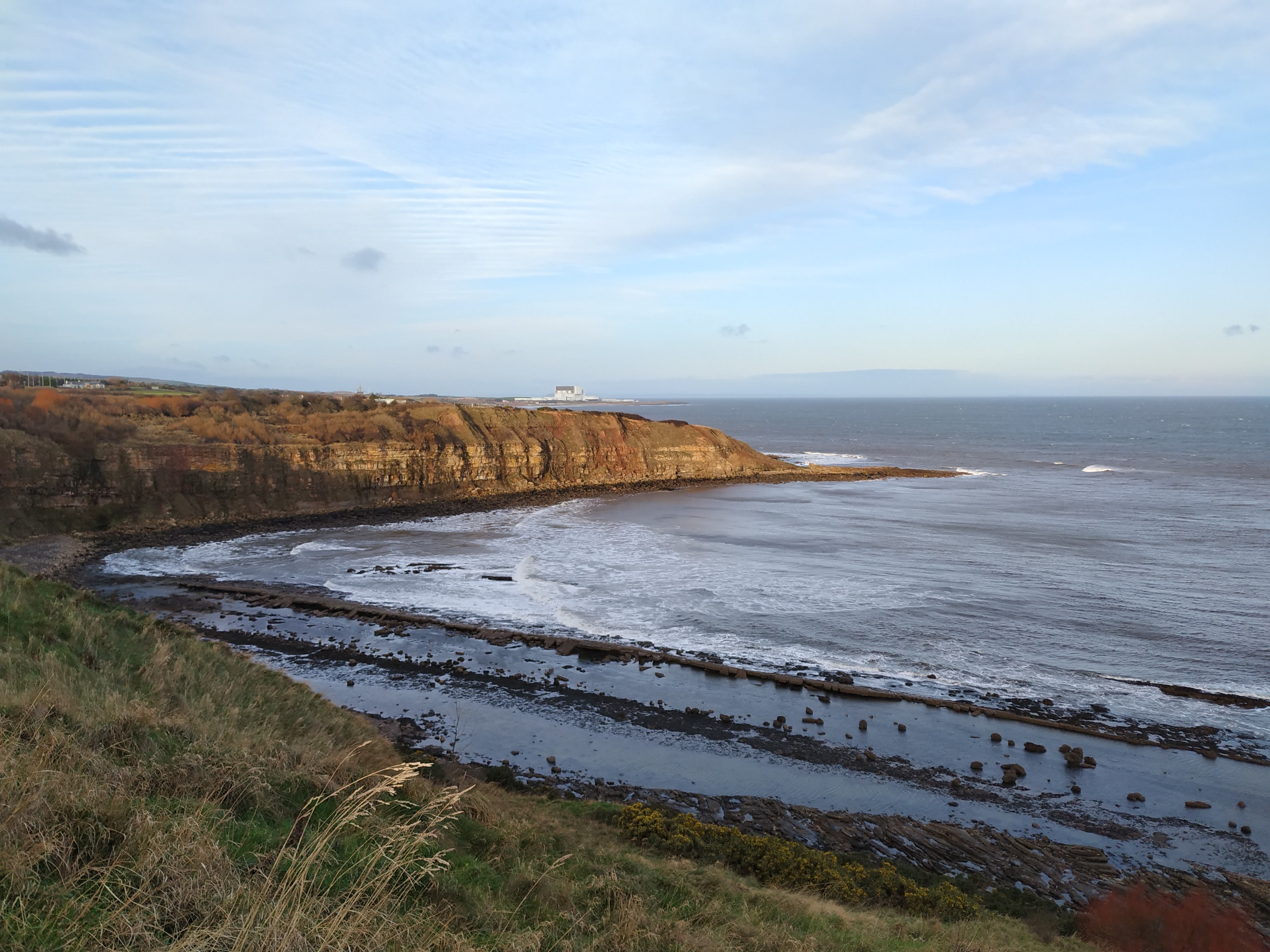
After Cockburnspath the path is nice and varied through some
woodland and down to the coast, then it's a mix of cliffs and beach
to Torness Nuclear Power Station. The power station is a weird
feature of the walk. There is a substantial concrete walkway all
around the seaward perimeter of the site and that is where the rout
directs you. It's pretty brutalist in its appearance and it's fun
to get so close to the power station, which I see from the train a
lot.
Trekking the last bit of the route is a bit boring. The golf course
at Dunbar goes right up to the coast and walkers are forced to
skirt around the edge of it. But then it's an easy walk into town
towards the train station.
Here is a shapefile of our route