TITLE: Fire experiments in the Congo
DATE: 2017-08-20
AUTHOR: John L. Godlee
====================================================================
Over the Summer I spent just under a month in the Republic of
Congo, doing some fieldwork for a colleague.
The work was to carry out yearly measurements on open-woodland
savanna plots, then to burn the plots afterwards.
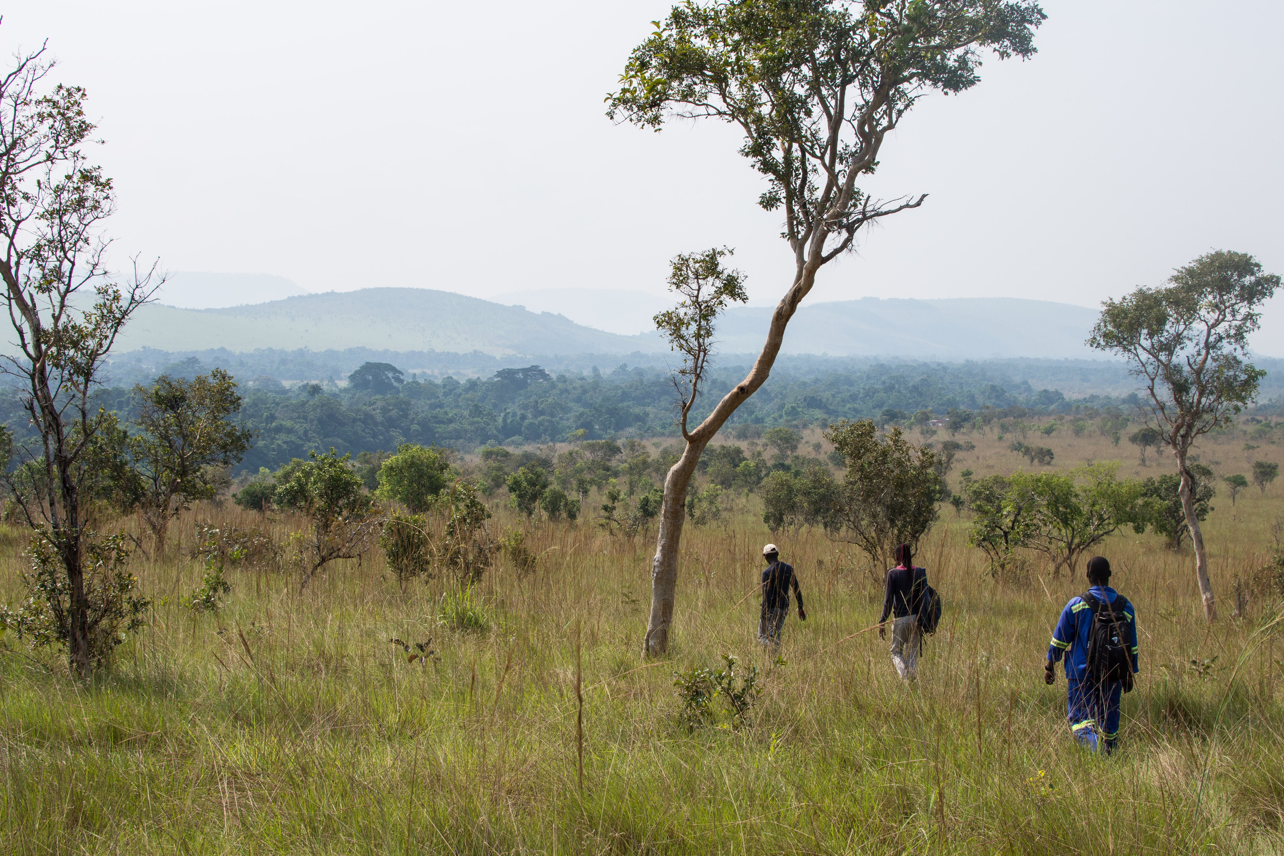
The field sites were located in the Bateke Plateau, which is really
interesting biogeographically speaking. The region covers around 6
million hectares, stretching across the Congo into The Gabon to the
North and the Democratic Republic of Congo to the South, and is the
remains of a vast sand dune system formed during the Eocene period,
~50 million years ago. The deep, rolling dunes have been colonised
by grass and relatively scattered trees, except along river valleys
where there are ribbons of dense gallery forest.
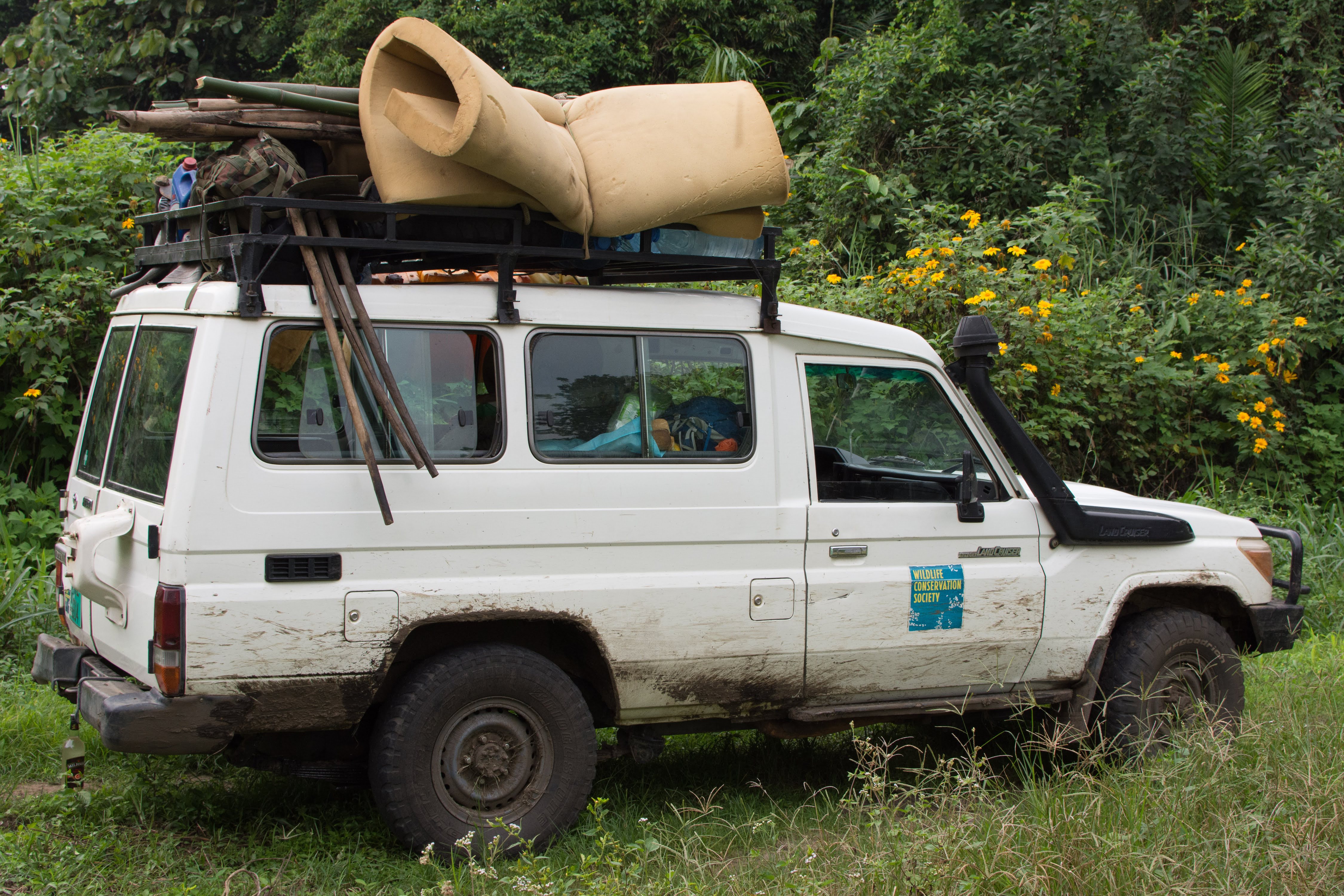
I flew into Brazzaville, the capital city of the Congo and met with
people from the Wildlife Conservation Society (WCS), who had
connections to the US Forest Service and were responsible for
organising my transport, housing, students etc. We spent a few days
getting everything ready, then took a truck up to our first field
site. My field team consisted of three Master students from the
Marien Ngouabi University in Brazzaville and a group of around 10
day labourers that we employed from villages near our field sites.
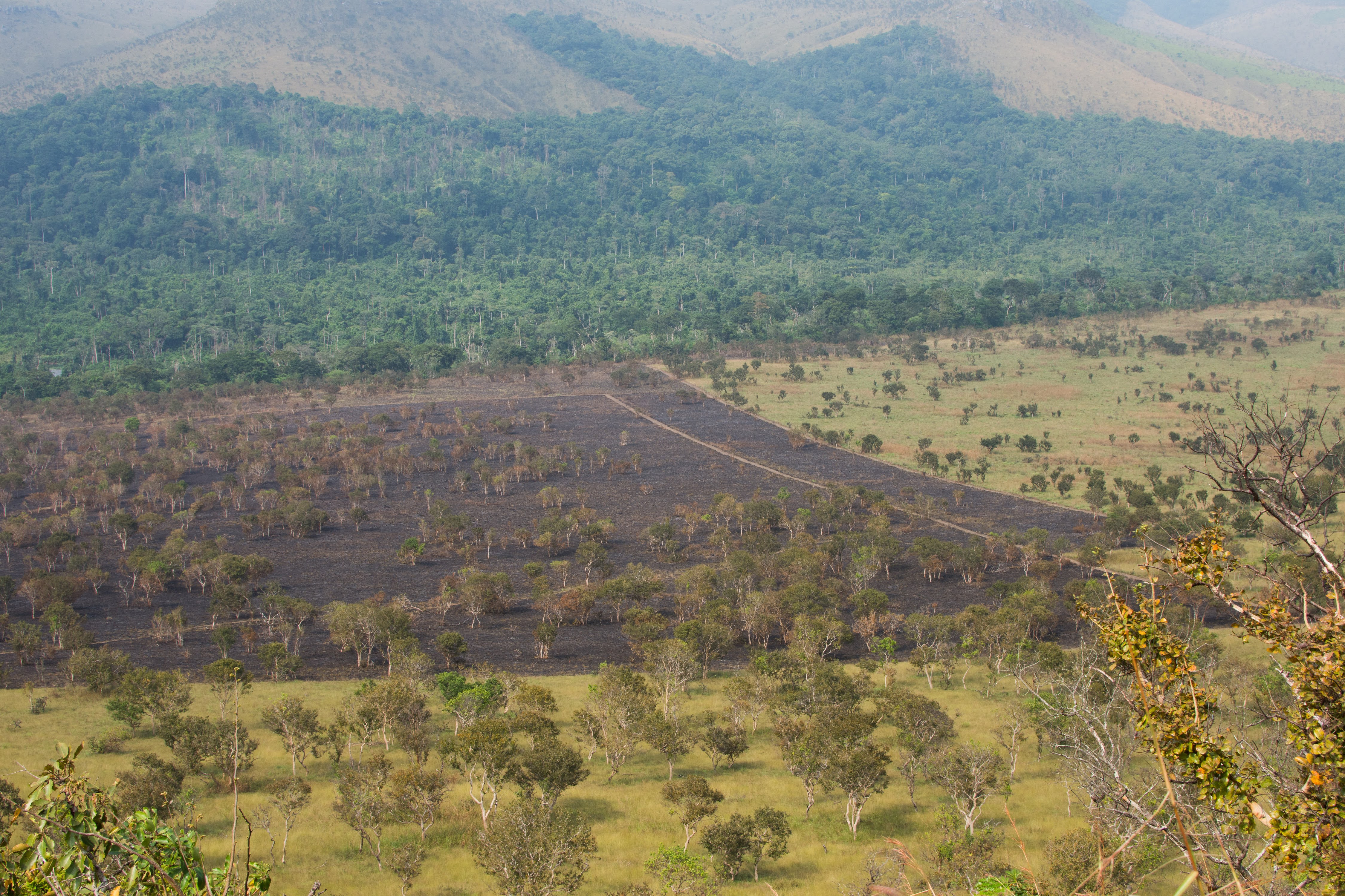
We worked at two field sites, each with three 25 hectare plots of
savanna. Each of the plots per site had a different experimental
treatment. The first was to be burned at the start of the dry
season, the second at the end of the dry season and the third was
to be kept as a control and never burned. The idea of the
experiment is to see whether regular burning at different times of
the season effects the intensity of the fires and therefore the
species that grow there. If the fire is later, there should be more
biomass and therefore a hotter fire, which would cause more tree
mortality and potentially change the species composition of the
grasses. As the climate changes, it is likely that changes in
temperature and precipitation regime will cause the fire season to
change, and some of the changes we're seeing experimentally in the
vegetation could start to be seen across the whole landscape.
In each plot we had a number of jobs to do. Firstly, we had to go
round each of the ~1000 trees in a plot and measure its trunk
diameter (Diameter at Breast Height (DBH)) and make notes of
whether any of the trees were dying, had fallen over etc. Then in
each of the subplots we took measurements of the grass height using
a wooden disc that we rested on the top of the grass.
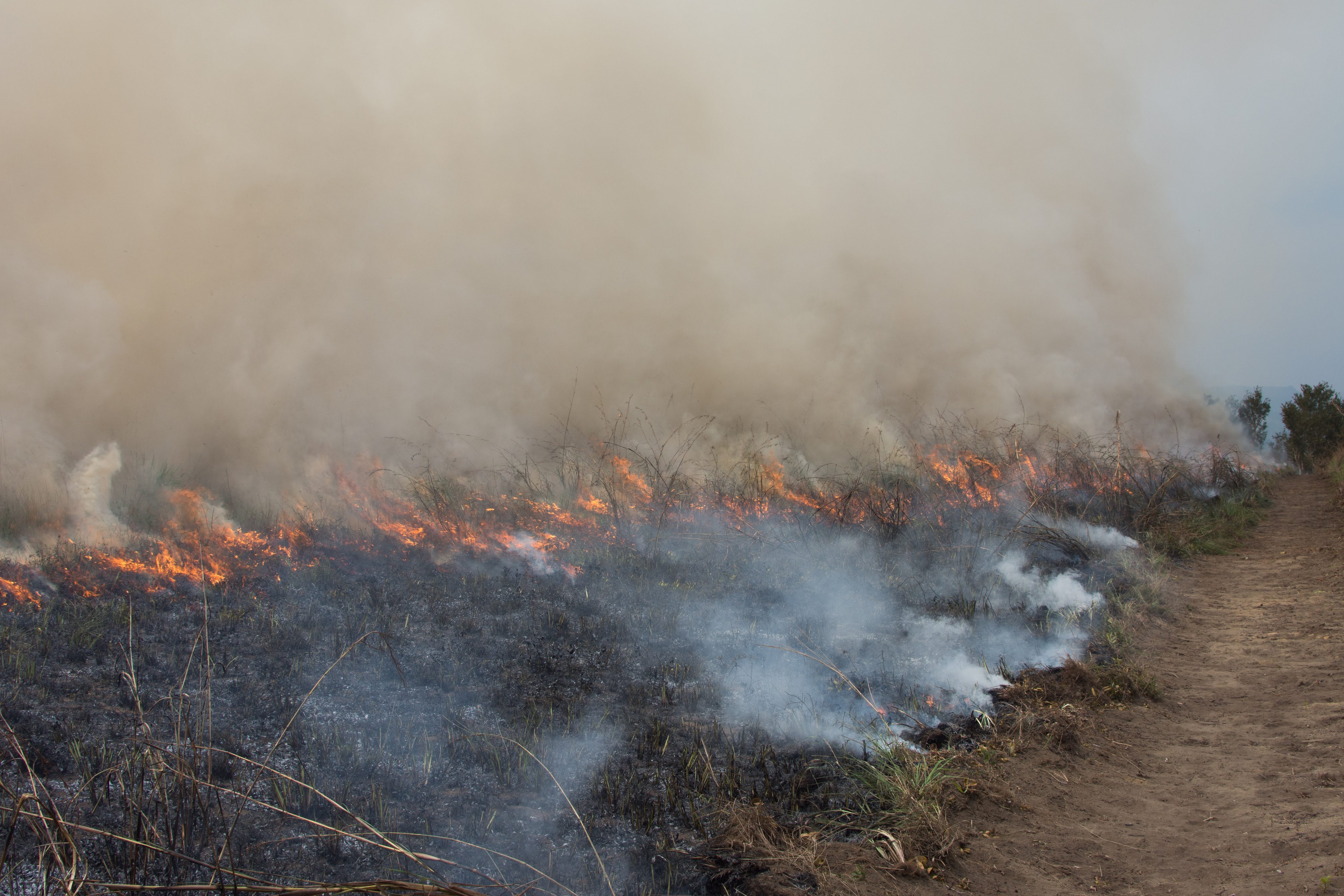
After we had conducted all our measurements and the fire breaks had
been dug properly by the day labourers, which took about 8 days per
site, we set fire to the plot! The fire lighting technique used by
the local people is to bundle grass together, light one end and
drag it along the edge of the plot to be burned, so bits of
smoldering grass break off and start small fires all along the
perimeter of the plot. Afterwards we estimated how patchy the fire
was by measuring how much of the subplots had burned and estimated
fire intensity by measuring the height of the highest singe mark on
the bamboo poles we planted. It was surprising how quickly the plot
burned, only about 40 minutes for 25 hectares, and how quickly the
ground cooled down afterwards, we could take our measurements about
10 minutes after the fire had finished burning.
Aside from the obvious logistic complexities in completing the
experiment and shipping all our gear to a remote field site we also
had to navigate various security checkpoints set up by the military
and the police, who serve the current government. Since the last
election in 2015 there has been an increasing frequency of short
periods of civil unrest in the region directly around Brazzaville,
mostly in the area directly outside of Brazzaville. From what I
heard, most of the sporadic fighting in rural areas has been
organised by Pastor Ntoumi, who controls a militia that has been
operating since the civil war in the 1990s, though it was
'officially' disbanded in 2009. This is also despite many reputable
sources saying thayt Ntoumi took up a government post in 2009,
presumably ending his involvement in anti-government militias. At
one point we had our passports taken and were taken from our truck,
and a few times we had to pay small bribes. It didn't get
dangerous, but in retrospect it could have been.